On Friday, November 20, 11-year-old Arielle and I attended a GIS week map-off at George Mason University. Students from George Mason and Northern Virginia University competed against students from George Washington University while using Open Street Map.
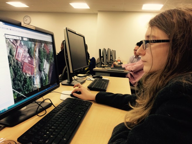
Arielle has attended several mapathons and is quite good with Open Street Map, so we chose the intermediate project. We digitized buildings on imagery from villages in Indonesia that are located near active volcanoes.
I felt it was important that Arielle understand why we are tracing squares on a map. I asked Arielle, “Why does this matter?”. She understood the difference between imagery and maps and that it is important to know what was at a location before a natural disaster in order to estimate damage and direct rescue efforts.
The event was sponsored by Missing Maps, NOVA Community College ASPRS club, George Mason University ASPRS club, Peace Corps, National Geographic, and MapGive.